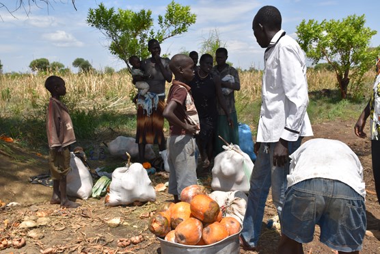
The Kinaite River flows northward from the Imatong Mountains eventually dispersing into the wetlands of Badingilo National Park. The Kinaite catchment is an area with a high biodiversity. Today, many locals are heavily dependent on the wetland and forest reserve for timber, firewood, charcoal, bush meat and arable land. Such activities provide an income and survival of people within the region but are not sustainable. The ecosystems in the area are degrading.
Over the last decade, the Kinaite Catchment has experienced droughts, inconsistent rainfall patterns and floods. Activities such as deforestation, hillside farming and agriculture in wetlands and has led to soil erosion and reduced water conservation in soils. The poor soils and erratic rainfall has led to significant reduction in crop yields over the years. This is affecting the food security for humans and animals and increasing the community’s competition for pasture and water.
Acacia Water is working together with Wetlands International Kenya in the Kinaite Catchment, South Sudan, on the Protracted Crisis Horn of Africa (PCHA) Project. The ultimate aim of the project is community stability and resilience through strategic interventions for food security, water security and disaster risk reduction. The published report combines an environmental risk assessment with ecosystem mapping.
The targeted use of ecosystem services can be an effective tool in disaster risk reduction, and the report provides a baseline for food and water security and future catchment management plans for disaster risk reduction within the catchment.
The final report as published by Wetlands International can be found here


