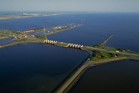
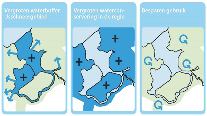
As part of the Dutch Delta Plan for Lake IJssel a broad stakeholder platform was organized. Management of the surface water level in the lake was one of the main topics discussed by the platform. To come up with the best water level management policy an in-depth physical assessment was combined with a carefully coordinated decision making process. The justification for the project is in the necessity to adjust water management in the Lake IJssel Region to changing climatic conditions.
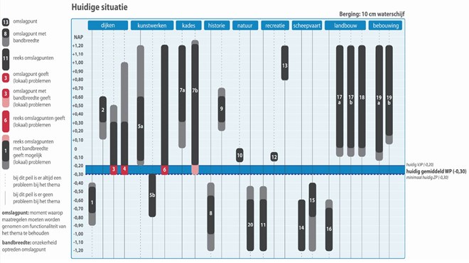
The project consists of three subsequent phases. In the first, the strengths, weaknesses, opportunities and threats were mapped. The outcomes of this mapping process served the development of the so-called level gauge, an instrument that allows for a comprehensive graphical representation of the effects of water level management changes. Subsequently, the results obtained with the level gauge facilitated the design and elaboration of preferential water level management strategies. In the end, these strategies were input to decision and policy making processes for the region.
The project resulted in a solid foundation for decision and policy making with regard to water level management in The Netherlands’ largest freshwater reservoir. In September 2014, the conclusions and recommendations of the project were input to governmental decision making on the management of the Lake Ijssel.


