Atlas of the Dopeth river, Uganda
Improving the water availibility in Karamoja region
Uganda’s Karamoja region is characterized by both acute and chronic poverty and has a very low level of social and economic development. Conditions have improved over the past few years, but attempts to implement long-term sustainable solutions have failed. This rampant poverty can mostly be attributed to drought, climate change, disease outbreaks, social insecurity and conflicts.
Together with Cordaid, Rain, Wetlands International and Caritas Kotido, Acacia Water set out to create a sustainable living environment in Karamoja. A combined analysis of the biophysical and socioeconomic conditions in the Dopeth catchment helped to identify the challenges, opportunities as well as the most practical and realistic solutions.
The final result of the study was presented in the form of a thematic atlas. The thematic maps show the current biophysical landscape, the potential of optimized land management, sustainable use of water resources and the use of other ecosystem services. These maps give an impression of the greatest challenges and possible solutions. Water and food security help to promote stability in the region. Although conditions have improved over the past few years, greater impact could be achieved if small-sale measures were better coordinated. The implementation of measures on a larger scale, like in the Dopeth catchment, will eventually help to build a sustainable living environment in Karamoja.
The Atlas of the Dopeth region can be found here (http://www.acaciadata.com/doc/612%20-%20Atlas%20Dopeth_final20151203.pdf)
 Frontpage Atlas
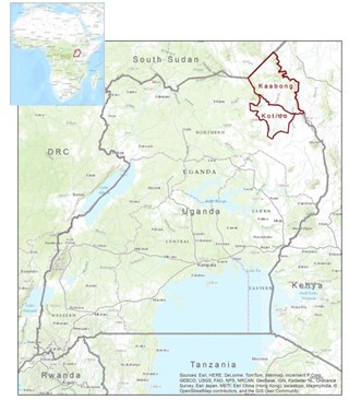 612 - Kaabong Catchment
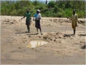 Dopeth river
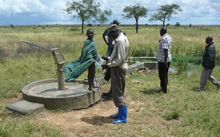 water point_fieldwork