Innovative levee inspection methods
Analysis by sand boils in levees
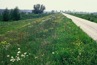
The dikes, or levees in the Netherlands prevent rivers from overflowing their banks and protect the hinterland against flooding. Over the centuries, these levees have been moved around a lot, damaged and repaired after breaches. What do we really know about the structure of these levees, and how important is this knowledge for our safety?
Acacia Water uses geophysical measurements to document the subsoil composition. In combination with old maps, drillings and cone penetration tests, an overall picture is generated to enable risk assessment of levee undermining.
Climate change causes extreme weather. Extreme weather events lead to high river runoff, increasing the downward pressure of the water on the river bed. At some points, the water will even reach the sand layers under the levee. When the water is high, these sand layers may start to behave like underground watercourses. These watercourses transport the sand, creating boils on the other side of the levee. This undermines the strength of the levee and may lead to failure.
Permanent measurements
The boils are not just monitored. Inspections also shed light on the current behaviour of the boil. This allows for immediate action to prevent boils from undermining the levee. Permanent measurements are performed for this purpose and linked to the river levels. This system helps to detect situations where the levee is in imminent danger of failure, and, more importantly, shows why this is so.
 3568853_1_org