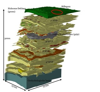
Hillegom groundwater model
Modeling of the urban area
Groundwater models are important tools for municipalities to acquire insight into the way their groundwater systems work. Acacia Water has developed a groundwater model for the Municipality of Hillegom that focuses on the municipality’s urban area. This model enables assessment of the groundwater situation at community level and is used by the municipality as a hydrogeologic tool. The use of a structured GIS database will allow for further detailing, for studies at street level, for instance.
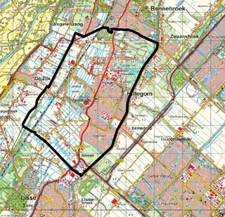
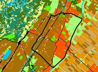
Combined with the groundwater measuring network, the model provides the Municipality of Hillegom with insight into both the average water tables and the water tables in wet and dry conditions. In addition, a map was drawn up of the unsaturated zone and the depth of drainage. This information allows for convenient identification of areas that require special attention as well as promising areas that are important in determining the municipal groundwater policy. Furthermore, the model can be used for groundwater-related issues in the context of spatial planning, contamination and civil engineering projects.
 3569095_1_org
 3569095_2_org
 3569095_3_org